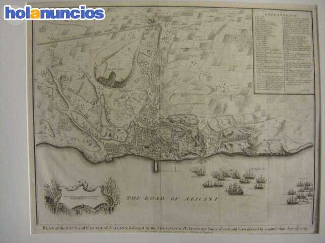
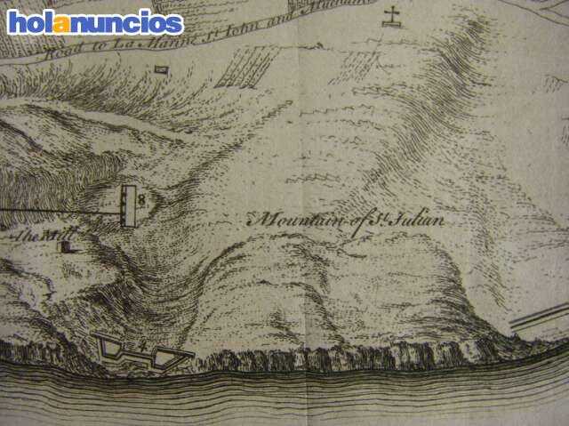
GRABADO MAPA DE ALICANTE AÑO 1709
Estado: En línea
Precio: 250€ Alicante Publicado: 02-12
ID: dzvvQVaz
Vistas: 0 veces
Fotos
Detalles
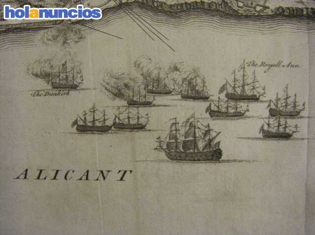
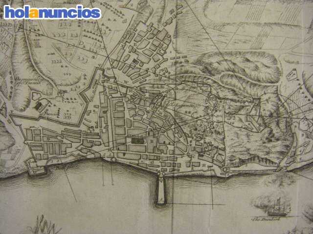
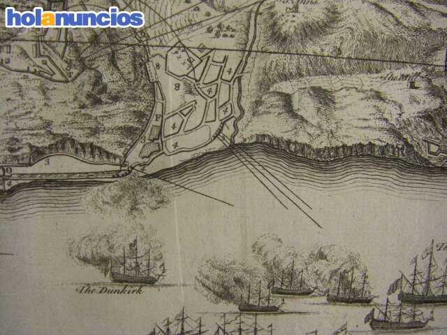
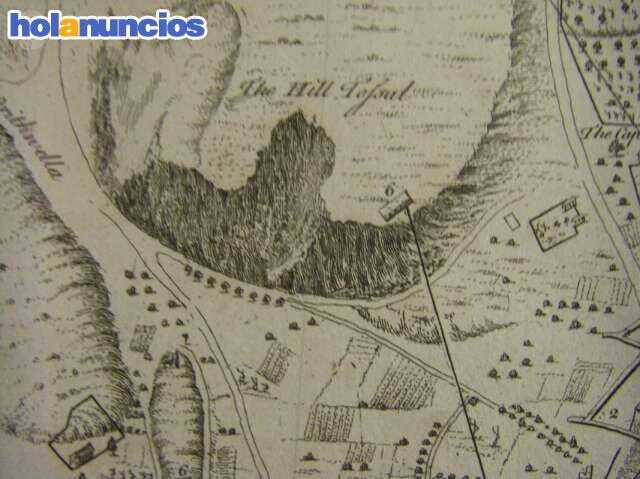
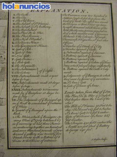
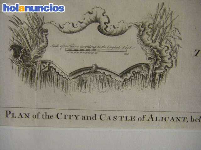
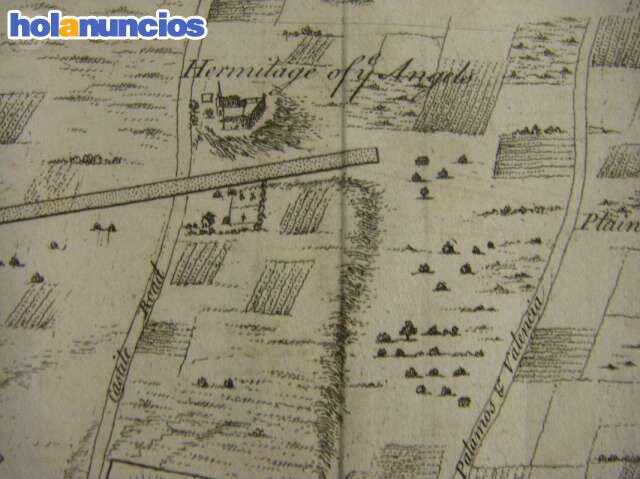
Grabado original del ataque a la ciudad de alicante en la guerra de sucesión entre el ejercito de felipe v de borbón y el archiduque carlos de austria, este grabado se editó en el año 1745 por rapins-tindals en conmemoración de las batallas más importantes libradas en europa. mide 52 x 50 cm. plan of the city and castle of alicant, befieged by the chevalier d asfieldt nov. 30 th. 1708 and furrendered by capitulation apr. 19 1709 .
Relacionado
- Grabado original del ataque a la ciudad de alicante en la guerra de sucesión entre el ejercito de felipe v de borbón y el archiduque carlos de austria, este grabado se editó en el año 1745 por rap ... 02-12
- Grabado original del ataque a la ciudad de alicante en la guerra de sucesión entre el ejercito de felipe v de borbón y el archiduque carlos de austria, este grabado se editó en el año 1745 por rap ... 02-12
- Grabado original del ataque a la ciudad de alicante en la guerra de sucesión entre el ejercito de felipe v de borbón y el archiduque carlos de austria, este grabado se editó en el año 1745 por rap ... 05-15
- Grabado original del ataque a la ciudad de alicante en la guerra de sucesión entre el ejercito de felipe v de borbón y el archiduque carlos de austria, este grabado se editó en el año 1745 por rap ... 02-12
- Grabado original del ataque a la ciudad de alicante en la guerra de sucesión entre el ejercito de felipe v de borbón y el archiduque carlos de austria, este grabado se editó en el año 1745 por rap ... 02-12
- Grabado original del ataque a la ciudad de alicante en la guerra de sucesión entre el ejercito de felipe v de borbón y el archiduque carlos de austria, este grabado se editó en el año 1745 por rap ... 02-12
- Grabado original del ataque a la ciudad de alicante en la guerra de sucesión entre el ejercito de felipe v de borbón y el archiduque carlos de austria, este grabado se editó en el año 1745 por rap ... 02-24
- Grabado original del ataque a la ciudad de alicante en la guerra de sucesión entre el ejercito de felipe v de borbón y el archiduque carlos de austria, este grabado se editó en el año 1745 por rap ... 06-09
- Grabado original del ataque a la ciudad de alicante en la guerra de sucesión entre el ejercito de felipe v de borbón y el archiduque carlos de austria, este grabado se editó en el año 1745 por rap ... 05-15
- Grabado original del ataque a la ciudad de alicante en la guerra de sucesión entre el ejercito de felipe v de borbón y el archiduque carlos de austria, este grabado se editó en el año 1745 por rap ... 03-04
- Grabado original del ataque a la ciudad de alicante en la guerra de sucesión entre el ejercito de felipe v de borbón y el archiduque carlos de austria, este grabado se editó en el año 1745 por rap ... 03-06
- Grabado original del ataque a la ciudad de alicante en la guerra de sucesión entre el ejercito de felipe v de borbón y el archiduque carlos de austria, este grabado se editó en el año 1745 por rap ... 01-06
- Grabado original del ataque a la ciudad de alicante en la guerra de sucesión entre el ejercito de felipe v de borbón y el archiduque carlos de austria, este grabado se editó en el año 1745 por rap ... 03-14
- Grabado original del ataque a la ciudad de alicante en la guerra de sucesión entre el ejercito de felipe v de borbón y el archiduque carlos de austria, este grabado se editó en el año 1745 por rap ... 02-27
- Grabado original del ataque a la ciudad de alicante en la guerra de sucesión entre el ejercito de felipe v de borbón y el archiduque carlos de austria, este grabado se editó en el año 1745 por rap ... 03-26
- Grabado original del ataque a la ciudad de alicante en la guerra de sucesión entre el ejercito de felipe v de borbón y el archiduque carlos de austria, este grabado se editó en el año 1745 por rap ... 03-26
- Grabado original del ataque a la ciudad de alicante en la guerra de sucesión entre el ejercito de felipe v de borbón y el archiduque carlos de austria, este grabado se editó en el año 1745 por rap ... 03-26
- Grabado original del ataque a la ciudad de alicante en la guerra de sucesión entre el ejercito de felipe v de borbón y el archiduque carlos de austria, este grabado se editó en el año 1745 por rap ... 04-27
- Grabado original del ataque a la ciudad de alicante en la guerra de sucesión entre el ejercito de felipe v de borbón y el archiduque carlos de austria, este grabado se editó en el año 1745 por rap ... 03-28
- Grabado original del ataque a la ciudad de alicante en la guerra de sucesión entre el ejercito de felipe v de borbón y el archiduque carlos de austria, este grabado se editó en el año 1745 por rap ... 01-12

